


, the only lake on Jan Mayen that does not dry up in the summer. Through analysing seabed sediments here, researchers hope to see how the weather has changed and affected the island. To the right is the sea. Photo: Eiliv Larsen, NGU")


, the only lake on Jan Mayen that does not dry up in the summer. Through analysing seabed sediments here, researchers hope to see how the weather has changed and affected the island. To the right is the sea. Photo: Eiliv Larsen, NGU")


Jan Mayen’s evolution through ice, fire and water
The isolated Norwegian island of Jan Mayen is located at the junction of two currents. Here, scientists can gain valuable insight into climate change. Take a coffee table tour by scrolling through the picture carousel.
THE ARCTIC: The island of Jan Mayen is particularly exciting for geologists who conduct research on paleoclimates, or what it was like on Earth long before we had thermometers and meteorologists to predict the weather.
In simplified terms, you can say that the island is located at the boundary between cold Arctic waters and warmer Atlantic waters.
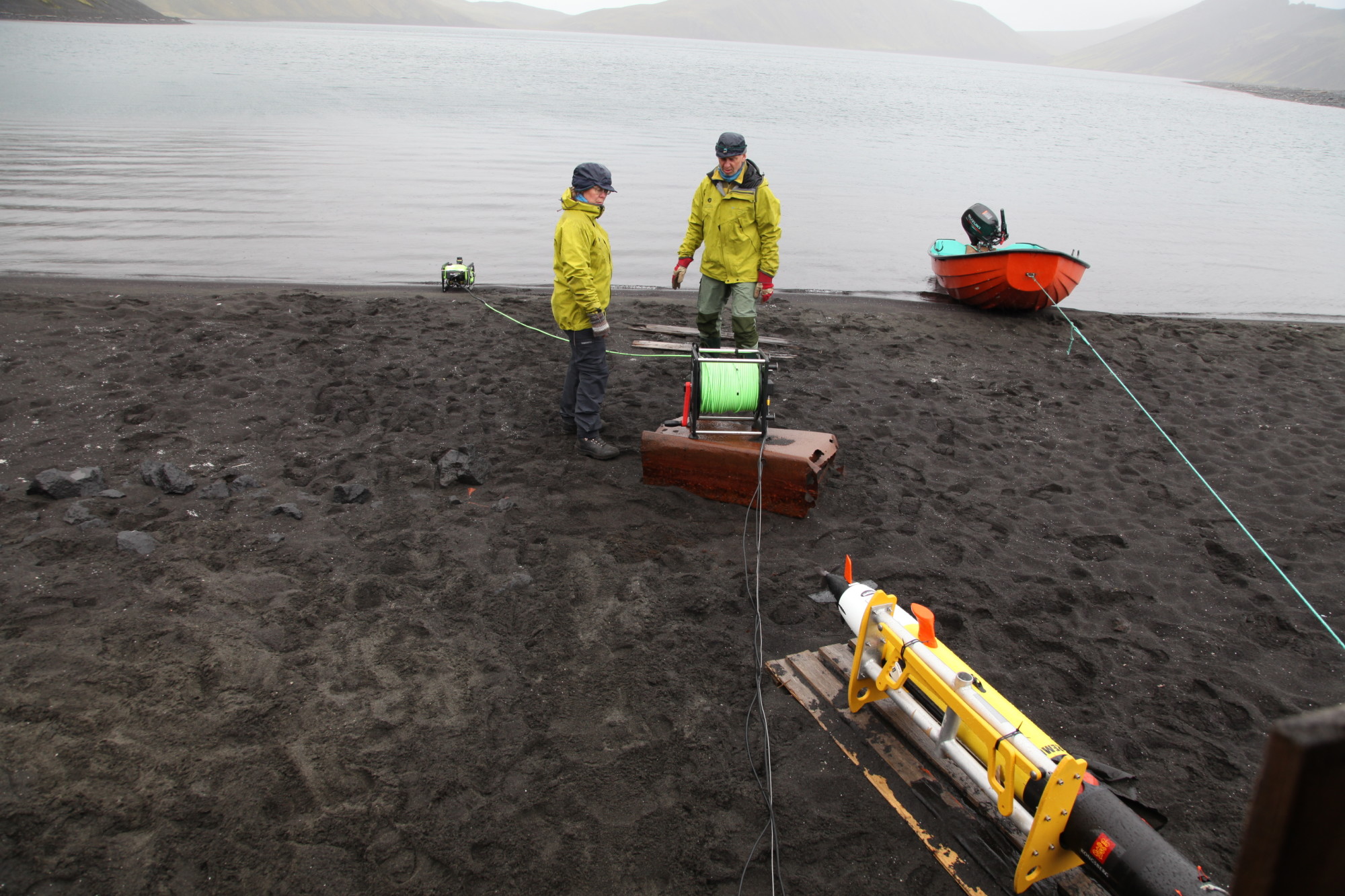
Astrid Lyså and Eiliv Larsen from the Norwegian Geological Survey work with NTNU University Museum’s ROV. It was used to map the seabed of North Lagoon lake. Photo: Martin Ludvigsen, NTNU
“This is the only land mass in the northern hemisphere where warm and cold ocean currents meet,” says project manager and team leader Astrid Lyså of the Geological Survey of Norway (NGU).
This makes Jan Mayen potentially very vulnerable to climate change and to shifts in the balance of these waters.
“This is a truly unique place. When it comes right down to it, we know nothing about Jan Mayen,” says Lyså, who travelled to Jan Mayen along with several other researchers last autumn.
NGU researchers will take the next few years to increase their understanding of how the climate has evolved in the Arctic. They will also map more of the island’s complicated geology. Ice, fire and water have influenced the landscape here — and still do.
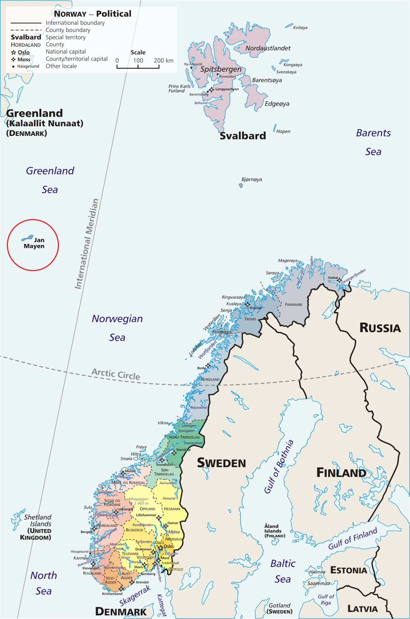
Jan Mayen island is circled in red.
The Research Council of Norway is funding the work that NGU is spearheading. Individuals from NTNU’s Centre for Autonomous Marine Operations and Systems and the NTNU University Museum are among those contributing to the work on Jan Mayen, in addition to other partners outside Norway.
A tough place to visit
For the first time, scientists will measure variations in the glacier’s extent and collect data from as far back in time as is possible on this young island, which is a mere 400,000 years old. They will also try to reconstruct what the climate was like here in the period after the ice retreated for the last time about 15,000 years ago, in part by analysing sediments from North Lagoon lake.
“Researchers queue up to go to Greenland and Svalbard, but few have made it to Jan Mayen,” says Eiliv Larsen, who is both a researcher at NGU and a professor at NTNU.
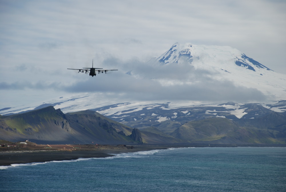
Part of the reason for this is that it is very difficult to travel to Jan Mayen. There is no regularly scheduled transport, no port, and permission to go ashore on the island is strictly regulated. What few flights there are are mainly to support the Jan Mayen station owned by the Norwegian Armed Forces, and the Norwegian meteorological station located on the island. There are also very flew places to stay.
With no tourist flights, Jan Mayen is not easy to get to. Photo: Astrid Lyså, NGU
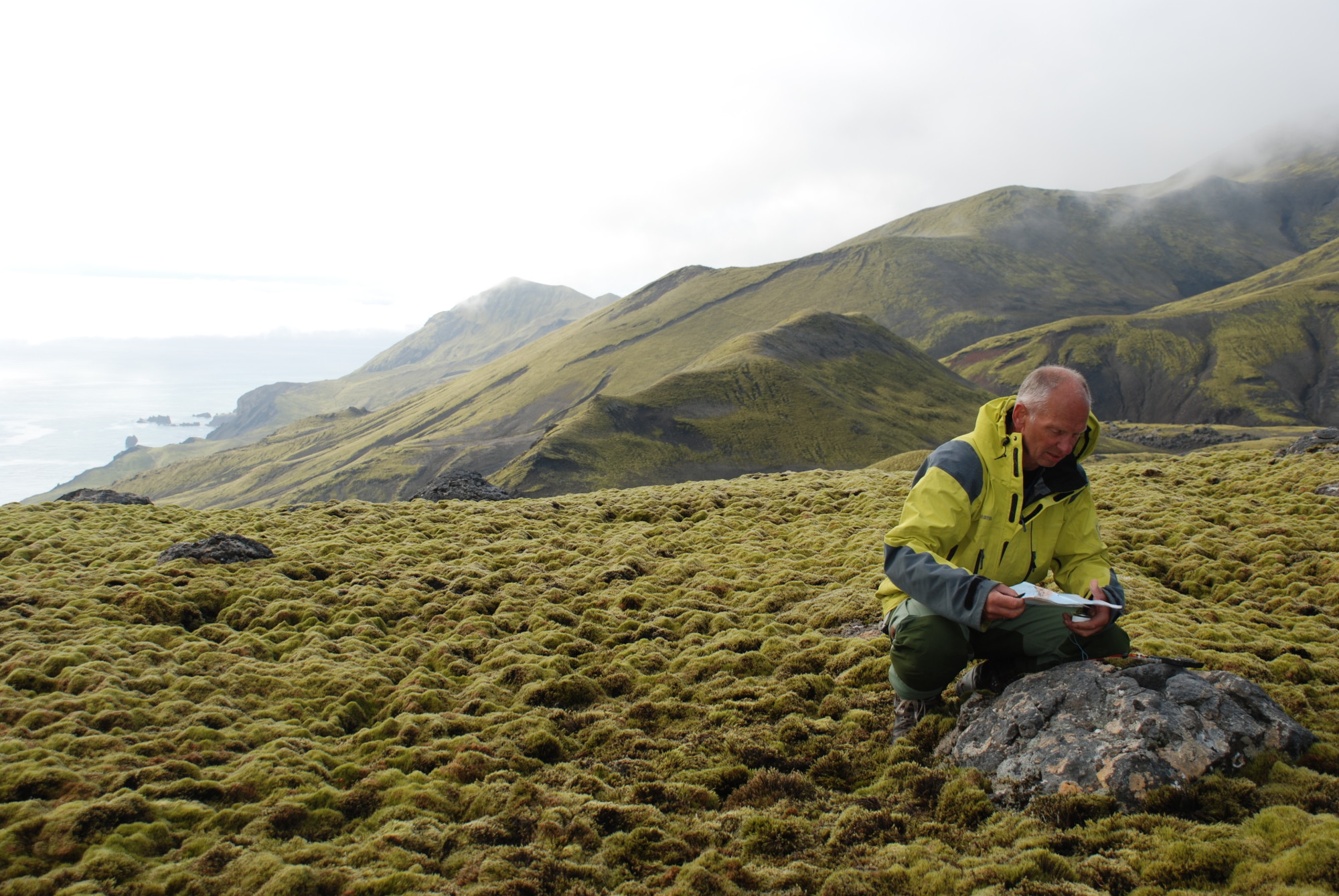
The geologists are mapping the best areas for collecting samples in North Lagoon.
“This is the only lake on Jan Mayen that doesn’t dry up in the summer,” says Lyså.
This past autumn the researchers went to Jan Mayen to begin work in the lake. The first job was to find out where the best sampling spots were in North Lagoon — not necessarily an easy task.
According to Professor Martin Ludvigsen from NTNU’s Department of Marine Technology, “Jan Mayen is a beautiful but inhospitable place that requires complicated logistics. To succeed here, interdisciplinary team work is essential and researchers need to have an interest and insight into issues from other disciplines.”
- You might also like: We know more about the moon than the ocean floor
Might be 15,000 years old
NGU will take core samples from the lake bed to attempt to document climate history on Jan Mayen for the last 10,000 to 15,000 years. But this is a simplification.
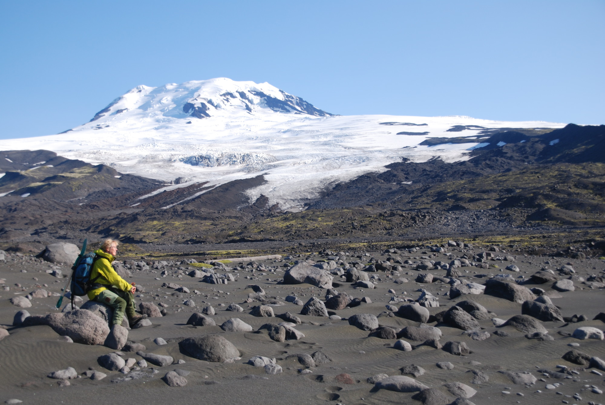
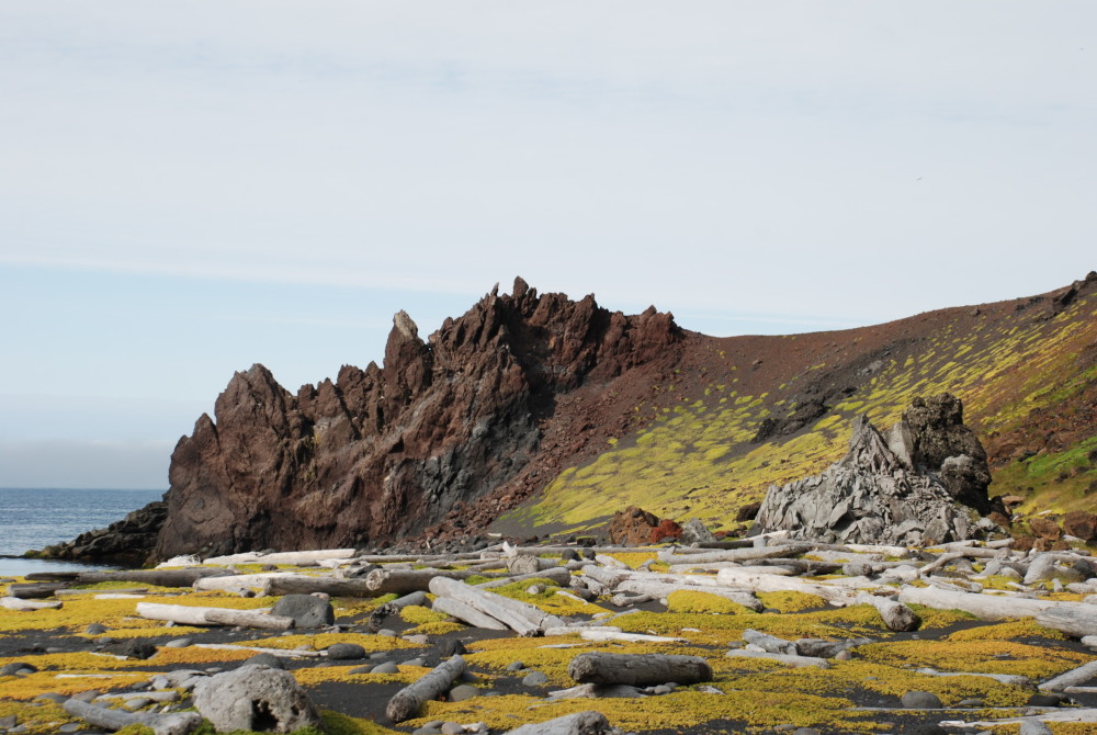
The active Beerenberg Volcano rises 2277 m above sea level, and is covered by ice. The snouts of several outlet glaciers extend almost or all the way down to the present sea level. At the toe of many of these snouts are impressive moraines, which bear witness to the ice that has receded over the past thousands of years. Photo: Eiliv Larsen, NGU
“We want to collect data from as long a period as possible, and we don’t really know how old the oldest sediments in the lake bottom are,” says postdoctoral fellow Johanna Kristina Anjar from the National Laboratory of Age Determination at the NTNU University Museum.
The sediments are probably not much older than 15,000 years and may well be younger.
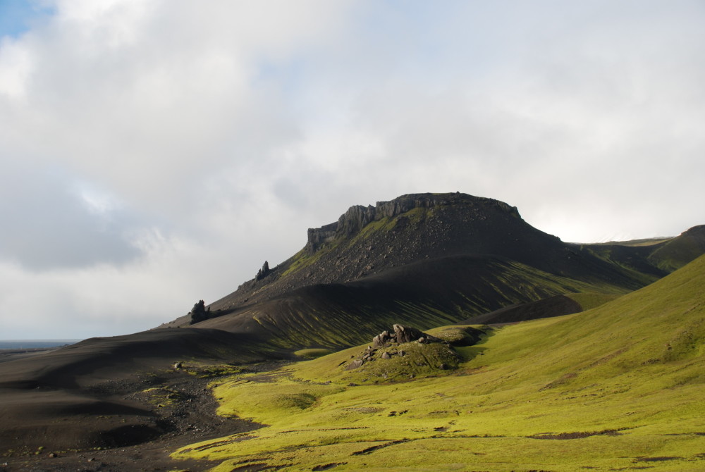
Today almost all of Jan Mayen is protected as a nature reserve, with tight restrictions on the use of the island.
The island currently has Arctic waters to the west and Atlantic waters on the east side. Figuring out how the currents have varied in the past can contribute to a greater understanding of climate. Core samples of the lake bottom can provide answers, but it’s not just a matter of going in and taking samples anywhere.
Looking for undisturbed lake bottom
Before they take these core samples, NGU researchers want to know as much as possible about North Lagoon. The main purpose of the AUV (autonomous, or unmanned, underwater vehicle) survey was to find an optimum location for the core samples. The samples have to be taken where the sediments are soft.
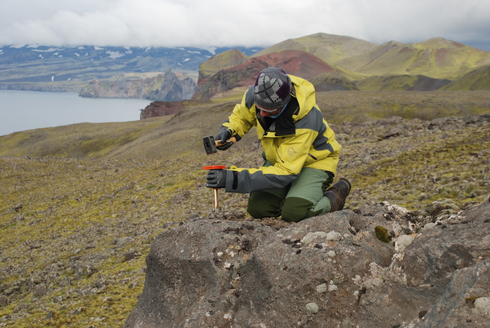
Eiliv Larsen assesses whether this surface boulder was transported and deposited by a glacier, which would make it a candidate for sampling and dating. Photo: Astrid Lyså, NGU
The reason for taking samples from this lake is that it is most likely the spot where researchers can go furthest back in time and also obtain a continuous sediment core. Nowhere else on Jan Mayen is this possible.
With Jan Mayen’s great logistical and weather-related challenges, being able to go directly to the most promising sampling areas with soft, thick and fairly pristine sediments is especially valuable.
And being so isolated, this island, which only has one permanent lake, offers geologists the only possibility to obtain this kind of paleoclimate data from this region.
- You might also like: Ivory gulls in trouble
Systematic data collection
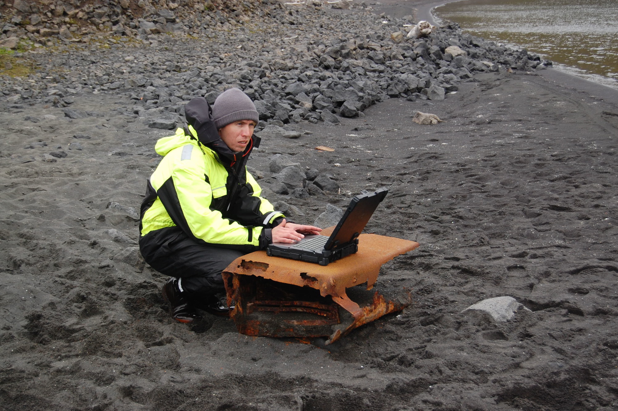
Martin Ludvigsen at work on the beach of North Lagoon. Photo: Johanna Kristina Anjar, NTNU
This was the first time the bottom of North Lagoon was mapped with an AUV, which examines the bottom of the lagoon systematically.
“The use of modern underwater vehicles like the AUV and ROV makes it possible to map an entire lake in the course of one work day,” says Professor Ludvigsen.
These tools make data collection more efficient, and researchers can increase their knowledge without increasing resource use. This is important in areas with complicated logistics, like on Jan Mayen.
“It wouldn’t have been possible to do this without the AUV mapping,” says Anjar. “As a bonus, we get a picture of the bottom of the entire lagoon, including the areas that are too exposed to storms to be suitable for core samples,” she adds.
This will make future NGU efforts easier and better.
The AUV survey gives researchers a very nice picture of the lake bottom. Researchers can clearly see areas where driftwood and other objects have collected, plus areas where the mountain is located at the surface and forms the lake bed topography.

Researchers are on the lookout for the most boring looking areas in North Lagoon, the ones that have a flat and monotonous bottom covered with lots of fine-grained sediment.Photo: NTNU
Occasionally unexpected objects pop up, like artefacts from an American base that was here during World War II.
- You might also like: The day Atlantic City blew away
On the hunt for boring areas
“We’re mostly on the lookout for the most boring-looking areas in North Lagoon, ones with a flat and monotonous bottom covered with lots of fine-grained sediment, “ says Larsen.
These areas provide the best conditions for researchers to find thick layers of sediments that have largely remained undisturbed where they were first deposited, without subsequently being stirred up or eroded away.
“This is where the researchers have an opportunity to obtain a continuous history of the environmental and climate changes that have taken place in the area,” says Lyså.
If all goes well, the boring will get started this spring or summer. Larsen and Lyså plan to come back, too. They hope to complete all the boring in a week.
- You might also like: Working safely in a cold, remote place
Several ice ages on a young island
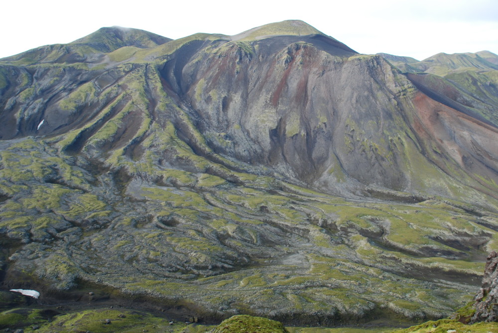
Another special feature on Jan Mayen is the island’s active Beerenberg Volcano. Its volcanic activity has persisted through several ice ages.

Today almost all of Jan Mayen is a protected nature reserve. Photo: Astrid Lyså, NGU
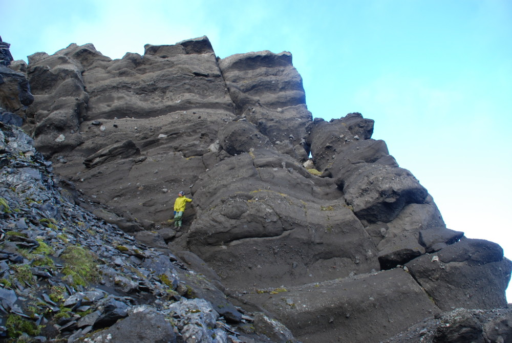
“The oldest known rocks on the island are nearly half a million years old, and that’s young from a geological perspective,” says Larsen.
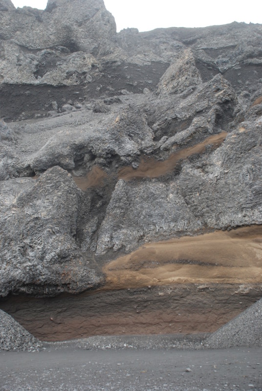
Having volcanic activity at the same time that the island is covered by ice means that sediments deposited by the glaciers get buried — and thus preserved — under lava flows. On the mainland, most older glacial deposits were eroded away by ice during the last ice age.
“This means that Jan Mayen has great potential for finding preserved older ice age deposits,” says Lyså